Many Valuable Aspects
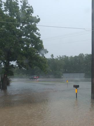
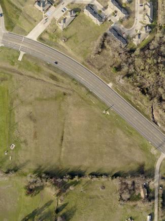
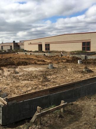
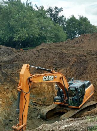
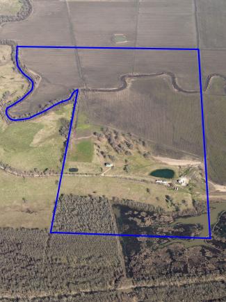
Surveying benefits many aspects of our lives. For properties, surveys can be performed to establish the boundary, record improvements, meet city and county platting requirements, delineate existing flood zone locations, prepare elevation certificates, and protect your real estate investment by discovering and resolving other items that could adversely affect the property. For construction projects, surveying can establish the site features to be used for design purposes prior to construction, it can assist the contractor in locating the required locations for structures to be built and record the as-built or actual final location of structures. Surveying can also be used to help develop the routes for the many underground utilities we are served by every day. Additionally, surveying is often used to provide the basis or foundation for creating the maps we use.
- Boundary Surveys
- Improvement Surveys
- Land Title Surveys
- ALTA Surveys
- Preliminary Platting
- Final Platting - Replatting
- Easement Surveys
- Construction Layout Services
- Form Board Surveys
- Topographic Surveys
- Design Surveys
- FEMA Surveys
- Record Drawing Surveys
- GIS/LIS Surveys
- Photogrammetric Ground Control
- Site Control Network Surveys
- Terrestrial based LiDAR Surveys
- Trimble R12i Survey Grade GPS
- Trimble SX10 Scanning Total Station
- Trimble R6 Survey Grade GPS
- Topcon ES-103 Total Station
- Topcon GTS 3003 LW Total Station
- Four conventional levels
- AutoCAD Civil 3D 2019 Software
- Trimble Business Center Software
- ArcGIS 10.3 Software
- Trimble Geo7x Handheld GNSS System
- Two available field crews
